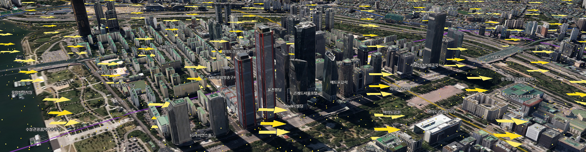
S-Map is a three-dimensional map built in cyberspace by replicating the entire 605.23㎢ expanse of Seoul. If you access the website (smap.seoul.go.kr) via a browser, you can see a bird’s-eye view of all of Seoul. By using a mouse, you can zoom in and out on the map and also freely adjust the altitude and tilt angle. This allows you to observe the city from any location on any desired scale, from any desired angle. On the map, there are approximately 600,000 buildings, various facilities including bridges and tunnels, underground facilities for water supply and drainage, gas, electricity, communication, and heating, and ground information such as the integration of geological maps and contour maps. The information about city’s administration, buildings, and traffic can also be added or excluded from one’s view.
S-Map is one of the ‘Smart Seoul Platform (6S)’ features currently promoted by the Seoul Metropolitan Government (SMG). The SMG initiated this project in 2018 and has developed it in three stages. The first stage, replication of the physical environment, is achieved in a 3D virtual environment ‘Virtual Seoul Platform’. The second stage is a collection and visualisation of the city’s spatial information. LiDAR technology was introduced to take 25,000 aerial photos and automatically analyse them using artificial intelligence (AI). Additional photographs were taken using drones and members of the public could manually supplement the data to enhance its accuracy.
The third stage is city analysis and simulation, which is the primary feature of S-Map. Based on the data of previous stpes, it figures out the social problems of real world and simulates the various experiments in the virtual wolrd. SMG will use S-Map especially in the planning and developing of the city. It’s an attempt to change the exisiting method reling on the limited data and one’s decision to advanced method analysing quantitative and vast data such as light, wind, and skyline. The map will also make use of the design competition for public architectures.
The digital twin technology, representing real subjects in the virtual, has now been used in many cities all over the world. The Virtual Singapore project since 2014 focused on the virtual representation of the city and its architecture. City Brain project in Hangzhou since 2017 took a step forward: the traffic data was used in policy to control the traffic lights and bus lines. The range of influence which is reflected in the virtual to the real is becoming wider. (written by Choi Eunhwa)